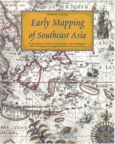
Early Mapping of Southeast Asia
The Epic Story of Seafarers, Adventurers, and Cartographers Who First Mapped the Regions Between China and India
کتاب های مرتبط


- اطلاعات
- نقد و بررسی
- دیدگاه کاربران
نقد و بررسی
April 1, 2000
Map expert Su rez (Shedding the Veil), who has served as a curator for map exhibits at the Federal Reserve Board in Washington, DC, has assembled a fascinating corpus of period maps to illustrate the use of cartography by Europeans in their exploration, interpretation, and subsequent colonization of Southeast Asia from the 16th to the 19th centuries. For the purpose of this study, Southeast Asia is defined as mainland areas east of the Ganges River, through Burma, Thailand, Indochina, and the Malay Peninsula as well as the insular region from the Nicobar and Andaman Islands in the Indian Ocean to Indonesia, the Philippines, and Taiwan. The authoritative text includes informative references to notable cartographers and explorers readily accessible through the index. Although the emphasis is on European maps, one chapter is entirely devoted to Asian maps of Southeast Asia. This unusual but handsome resource (of the 120 illustrations, 50 are reproduced in full color) is recommended for all public and academic libraries, particularly those with extensive cartographic or Asian history collections.--Edward K. Werner, St. Lucie Cty. Lib. Syst., Ft. Pierce, FL
Copyright 2000 Library Journal, LLC Used with permission.


دیدگاه کاربران