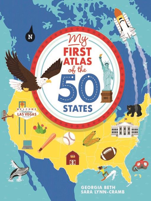
My First Atlas of the 50 States
کتاب های مرتبط
- اطلاعات
- نقد و بررسی
- دیدگاه کاربران
نقد و بررسی

August 15, 2019
A west-to-east flyover of the 50 states, noting select cities, flora, fauna, natural wonders, and tourist destinations. It is, at best, a banal overview. Beth's commentary ranges from statements like "[Alabama] is shaped like a rectangle and includes many different types of land" (Tennessee likewise "has many different areas") to a clumsily phrased--not to mention outrageously coded--observation that Massachusetts "is a modern state with a diverse population in Boston and rural towns in the western half of the state." She also incorrectly claims that New York was once "New Netherlands" and--perhaps to avoid even using the word "climate"--defines "biome" as "a mixture of the weather, plants, and animals found in a place." Along with a handful of cities and occasional rivers, Cramb scatters light assortments of small animals, items, or natural features over flat, monochromatic full-page or double-page-spread portraits of each state. Many of these are repetitive (the same moose poses in Maine, Vermont, and New Hampshire, for instance) or generic, and some, such as a bowl of cereal labeled "GM crops" in Minnesota and a harp representing "harp music" in Mississippi ("Home to the famous Mississippi River"), will add nothing to any reader's understanding of anything. Younger armchair tourists and prospective road-trippers will find more reliably rewarding itineraries aplenty, led by Dan Yaccarino's Go, Go America (2008) and Mark Teague's LaRue Across America (2011). A dismal flight, crashing and burning almost before it leaves the runway. (index) (Informational picture book. 6-8)
COPYRIGHT(2019) Kirkus Reviews, ALL RIGHTS RESERVED.


دیدگاه کاربران