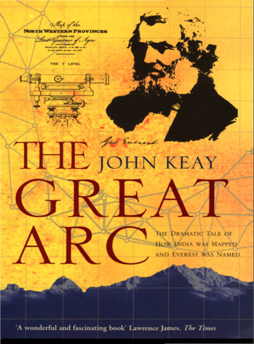
The Great Arc
The Dramatic Tale of How India was Mapped and Everest was Named (Text Only)
کتاب های مرتبط
- اطلاعات
- نقد و بررسی
- دیدگاه کاربران
نقد و بررسی

July 31, 2000
In this nicely detailed chronicle, British historian Keay (India: A History) portrays the arduous half-century Great Arc project as a pathbreaking scientific undertaking and as an adventure that transcended politics. He introduces George Everest, a cantankerous British colonel who, appointed surveyor-general of India, never saw the famous mountain named after him. Everest's life's work, and obsession, was the Great Indian Arc of the Meridian, a benchmark series of measurements running from India's southern tip up to the Himalayas. Begun in 1800 (Everest came on board in 1818), the Great Arc was a basic tool of British imperial domination, paving the way for commerce, conquest, the building of roads, canals, railways and settlement. Razing whole villages, appropriating sacred hills, exhausting local supplies and facilitating tax assessments, the Great Trigonometrical Survey (which spawned the Great Arc) and its sister project, the Survey of India, epitomized the mutual incomprehension and distrust that characterized British-Indian relations. While Keay gives a nod to the impact that British mapmaking had on the Indian people, his narrative, as quaintly colorful as a 19th-century watercolor, focuses on the logistics of the Great Arc (an army of men, instruments, elephants and horses hauling a half-ton theodolite and braving tiger-infested jungles), on the science of surveying and on the monumental ego of Everest, an irascible martinet whose arrogance ultimately tarnished his achievements. Maps, photos and illustrations throughout.


دیدگاه کاربران