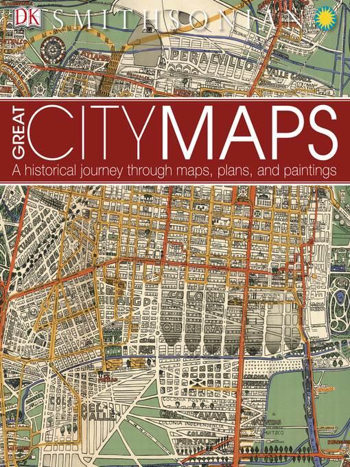
Great City Maps
A Historical Journey Through Maps, Plans, and Paintings
فرمت کتاب
ebook
تاریخ انتشار
2016
نویسنده
Smithsonian Institutionناشر
DK Publishingشابک
9781465459060
کتاب های مرتبط
- اطلاعات
- نقد و بررسی
- دیدگاه کاربران
نقد و بررسی

Starred review from November 1, 2016
More accessible to YA readers than this season's similarly stellar History of the World in Maps (reviewed above), this title covers metropolises across the world in chapters on ancient cities, medieval trading centers, imperial capitals, colonial cities, ideal (meaning planned) cities, and megacities. Each chapter opens with a discussion of the city type in question and then offers maps, paintings, and, sometimes photographs in a spread or two each. The large, sumptuously reproduced images are accompanied by lengthy commentary on each destination's history and geography. On the map itself, which is the centerpiece of the presentation, details are often given on its features, cartographer, design, and materials. Some locations--Paris and New York, for example--are illustrated in more than one map. VERDICT A perfect companion to the publisher's 2014 Great Maps, but also a worthwhile stand-alone purchase, especially where cartography books are needed that serve YA as well as adult patrons.--Henrietta Verma, National Information Standards Organization, Baltimore
Copyright 2016 School Library Journal, LLC Used with permission.


دیدگاه کاربران