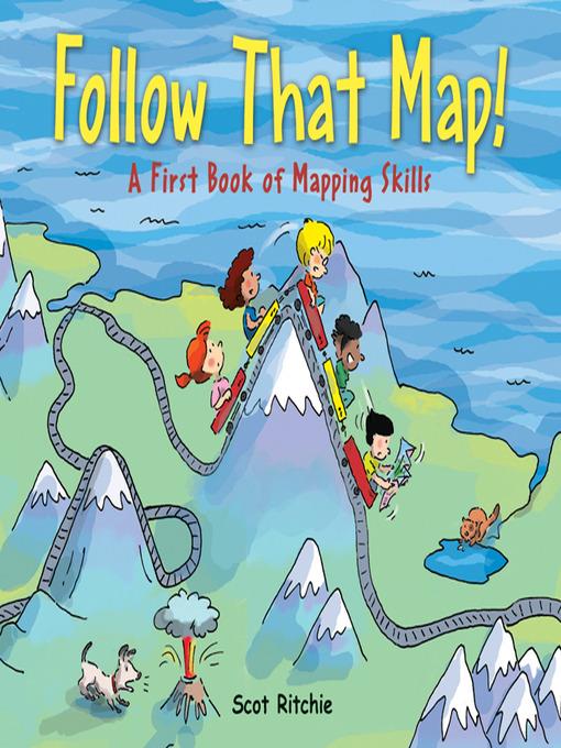
Follow That Map!
A First Book of Mapping Skills
فرمت کتاب
ebook
تاریخ انتشار
2009
Lexile Score
590
Reading Level
2-3
ATOS
3.5
Interest Level
K-3(LG)
نویسنده
Scot Ritchieناشر
Kids Can Press Ltd.شابک
9781771382014
کتاب های مرتبط


- اطلاعات
- نقد و بررسی
- دیدگاه کاربران
نقد و بررسی
October 1, 2009
Gr 3-5-In this clever introduction, Sally and her four friends are looking for her missing cat and dog. The simple text is accompanied by a colorful map that uses symbols to identify places such as the library. Next, the youngsters explore the park, and the map shows how to follow a route. They continue their search in the city, the countryside, and eventually across the world and the solar system. On the way, a different type of mapfor example, weather, topographical, and treasureis featured on each spread and explained. The idea works well for the first few pages but falls apart as the children go further and further afield. However, the information is solid, and readers will enjoy looking for the animals, who are hiding somewhere in each map. Back matter includes instructions for creating a map of a bedroom."Wendy Woodfill, Hennepin County Library, Minnetonka, MN"
Copyright 2009 School Library Journal, LLC Used with permission.
March 15, 2009
Preschool-G Sally and friends are playing in her backyard when they notice that her dog and cat, Max and Ollie, are missing. Determined to find them, they run through their neighborhood, the park, and the zoo; venture into the country and to a tropical island; and finally travel around the world and into space before locating the animals in the backyard. The fanciful story is less important than the overhead views of the search, which create maplike scenes of the children searching across land, sea, and space. Map-related information appears in bold type on each spread. Younger children will enjoy finding Ollie and Max in each cartoon-style picture, but older ones can pick up quite a bit about maps, including their purpose, use of symbols, and terminology, e.g., compass rose and legend. An appended project shows children how to create maps of their bedrooms.(Reprinted with permission of Booklist, copyright 2009, American Library Association.)


دیدگاه کاربران