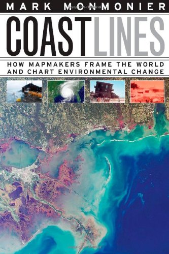
Coast Lines
How Mapmakers Frame the World and Chart Environmental Change
کتاب های مرتبط
- اطلاعات
- نقد و بررسی
- دیدگاه کاربران
نقد و بررسی

April 1, 2008
Monmonier (geography, Syracuse Univ.; "How To Lie with Maps"), the author of over 15 books on mapping, cartographic presentation, interpretation, and environmental analysis, has written an interesting commentary on how mapmakers represent the changing nature of nautical coastlines. Writing in nontechnical language aimed at a general or undergraduate readership, the author extensively uses maps, figures, charts, footnotes, and diagrams to illustrate effectively how cartographers and mapmakers depict historical and time-series data on the evolving nature of beaches, navigation charts, and maritime zones. Via the use of mainly American examples, Monmonier tackles the theme of dealing with the assumptions, ideas, and beliefs arising from coastal ecology, flooding, rising sea levels, and the effects of global warming on the land-sea divide. The text is rich in historical content and includes a bibliography with scholarly articles, books, web sites, and government publications. Recommended for undergraduate and larger public library environmental and geography collections.Ian D. Gordon, Brock Univ. Lib., Saint Catharines, Ont.
Copyright 2008 Library Journal, LLC Used with permission.


دیدگاه کاربران