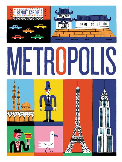
Metropolis
کتاب های مرتبط


- اطلاعات
- نقد و بررسی
- دیدگاه کاربران
نقد و بررسی
August 8, 2016
In a cursory visual overview of 34 cities across six continents, a patchwork assemblage of brightly colored rectangles house monuments, foods, and geographical features specific to each location, a format Tardif used in 2015’s Sport-o-Rama. Working in a naïve, posterlike style, Tardif populates the pages with dot-eyed cartoon figures, objects, and buildings defined by loose, black lines. London highlights include Big Ben, fish and chips, and a “typical rainy day,” while the Istanbul spread makes room for the Bosphorus Bridge, Galata Tower, and Turkish delight. The text is limited to image captions and brief mentions of the local population and language, so outside research is required if readers want to learn more about the buildings and objects presented; maps on the endpapers help place the cities in a larger global context. Ages 4–8.
July 15, 2016
Thirty-four large cities of the world are illustrated in posterlike double-page spreads. Each spread provides a selective guide to the tourist sites and important features of each city, including topography, architecture, typical cuisine, recreational activities, notable public artworks, historical features, sports arenas, and local customs. Tardif's whimsical, colorful, graphically simple illustrations are arranged in a rough grid on the page, with a brief caption for each picture and the occasional speech bubble. There is no narrative to speak of, making this a difficult book for many American children to understand, and likewise for parents or teachers to communicate, given that few of them would have enough extraneous knowledge of such relatively obscure cities as Fez, Mumbai or Seoul to fill in the gaps. This unfortunately tends to reinforce stereotyping of people and places (Romans drive small Italian cars, eat pizza, and drink espresso; residents of Buenos Aires dance the tango, play soccer, and eat chorizo sandwiches). Most of the people depicted appear to be of the majority race in their respective countries. A brief glossary lists the few non-English words included, and endpapers show a world map marking the locations of the cities discussed. The book is fun to look at, but it imparts so little real information that it really is not much use as a guide to different cities or the cultures they represent. (Informational picture book. 4-8)
COPYRIGHT(2016) Kirkus Reviews, ALL RIGHTS RESERVED.
November 1, 2016
Gr 1-3-A romp through various cities of the world, from Auckland to Seoul, Jakarta to Stockholm, all showcased in wild color (think-the style of J. Otto Seibold). The end pages feature an illustrated labeled map that serves as a visual overview of the 34 cities spotlighted. There are nine cities from North and South America and a mix of popular and not-so-popular cities from other continents. Each country is illustrated with a spread covering things to eat, places to visit, words to know, and experiences to have (ride a rickshaw in Mumbai or look for the legendary sewer-dwelling crocodile of New York). VERDICT Geography buffs and armchair travelers will enjoy studying this book and poring over the fun cartoon graphics.-Tanya Boudreau, Cold Lake Public Library, Alta.
Copyright 2016 School Library Journal, LLC Used with permission.


دیدگاه کاربران