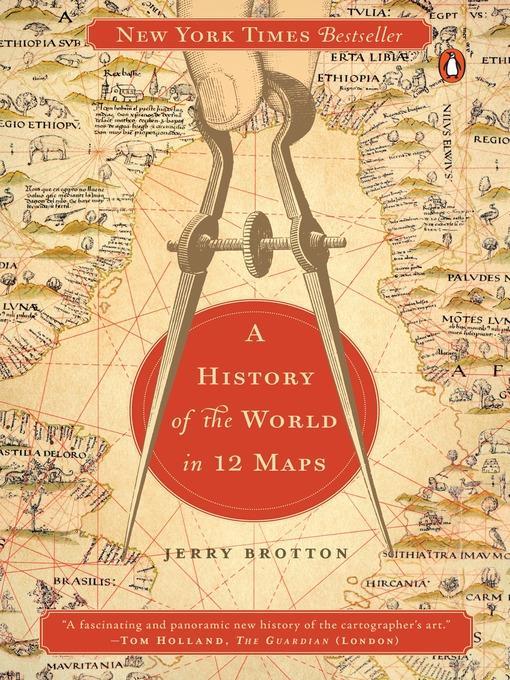
A History of the World in 12 Maps
کتاب های مرتبط
- اطلاعات
- نقد و بررسی
- دیدگاه کاربران
نقد و بررسی

Starred review from September 2, 2013
In an era when Google Maps is regarded as a standard convenience, this history of 12 epoch-defining maps—including Google’s—is a revelation. Renaissance scholar Brotton examines a cross-cultural sampling of historic world maps, exploring them as representations of both the Earth, and of the philosophical mores of the cultures that produced them. The maps range in function from the “practical maintenance of empire” to the spiritual concerns of uniting “the earth and the heavens in a harmonious, universal whole.” Each simultaneously represents a geographical survey, an aesthetic achievement, technological progress, theological instruction, and political demarcation. These multiple functions are mirrored in the structure of the book, which reflects political, philosophical, and cultural development. The maps are about humanity’s changing relationship with itself, others, the Earth, and the heavens, and this broad scope makes for rich reading. Ultimately, the unifying function of each map is to “rise above the earth” and see with a “divine perspective,” and Brotton offers an excellent guide to understanding these influential attempts at psychogeographical transcendence. Of course, each historic map, despite the cartographer’s efforts, contained inaccuracies, necessitating revisions—a humbling lesson for our current information-dense age. Maps.

October 15, 2013
A deeply erudite work of epistemology tracking how the making of maps throughout the ages reveals mankind's mastery of the universe. In this wide-ranging work, English scholar Brotton (Renaissance Studies/Queen Mary Univ.; The Sale of the Late King's Goods: Charles I and His Art Collection, 2006, etc.) moves from Ptolemy's Geography (A.D. second century) to Google Earth for an eclectic representation of the power of maps to confer man's authority and dominion. Maps tell us what we know about ourselves in relation to the world but also what we want the viewer to know, drawing on shifting perception, orientation and direction throughout the ages as science, faith and egocentrism deepened. For example, most of these 12 maps spotlight the culture from which the mapmaker drew, and until the later Christian era, maps were "oriented" by the south rather than north. Brotton divides his work into discrete themes such as science, faith, money and equality, selecting the map that best represents that particular idea at some moment in history. For example, Geography encapsulated more than 1,000 years of Greek thinking on the world "as a single and continuous entity" and was used as a model for the next two millennia. Muhammad al-Idrisi's Entertainment (A.D. 1154) reveals the enormously rich exchange of ideas between the Muslim East and Christian West. The bishop of Hereford's Mappamundi (1300) depicts fanciful theological events both classical and biblical, with Jerusalem at its center. Gerard Mercator's World Map (1569) shows how the extraordinary mapmaker circumscribed the persecution of his Protestant faith by rendering a vast map for navigation using a combination of cosmographical tradition and new scientific understanding. Brotton explores the ideology behind each mapmaker and the compelling "emotional forces" that he reveals about our civilization. A dense and scholarly but rewarding journey for the intellectually intrepid.
COPYRIGHT(2013) Kirkus Reviews, ALL RIGHTS RESERVED.

September 15, 2013
Maps, both ancient and current, can reveal more than hard, physical facts such as rivers, mountains, and lines of latitude and longitude. They can also indicate the perceptions and biases of the cartographers and the cultures in which they labored. That is a recurring theme throughout this striking collection of maps, ranging from a world map based on Ptolemy's second-century CE calculations, to a current Google Earth map. The maps and excellent commentaries that accompany them illustrate, of course, the advances of scientific knowledge about the earth. But they also show how these creators were influenced by their ethnocentric views and the political pressures of various interest groups. For example, a map from medieval Europe shows the Far East as a land under the sway of cannibals and outcasts, while a Chinese map portrays lands to the west controlled by savages. This is a stimulating and thought-provoking study of how the mixing of science, politics, and even religion influenced and continues to influence cartography(Reprinted with permission of Booklist, copyright 2013, American Library Association.)

June 15, 2013
Maps would seem to represent a clear-cut reality, but as Brotton shows, they've often been used to push imperial, religious, or economic aims or ideas. Thus, the 12 maps he discusses here, which date from ancient Greece to Renaissance Europe to Google Earth and take in Buddhist and Islamic realms as well as the West, can give us in-depth cultural understanding of several millennia of human history.
Copyright 2013 Library Journal, LLC Used with permission.

December 1, 2013
Brotton (Renaissance studies, Queen Mary Univ. of London; The Sale of the Late King's Goods: Charles I & His Art Collection) has produced an exhaustively researched historical study of world maps as a direct reflection of the geopolitical, cultural, and religious consciousness of their particular time and context. The 12 examples chosen span centuries and cultures, from Ptolemy's second-century study to 2012's Google Earth. One particularly noteworthy chapter, "Exchange," provides an account of al-Idrisi's world map (1154). This cartographer, a Muslim commissioned by Christian King Roger II of Sicily, brought to his work both Latin and Arabic geographical knowledge. Brotton demonstrates how choice of perspective and projection can deliberately enhance or diminish terrestrial regions. North is at the top of our own maps, but early Christian maps used East, while early Islamic maps favored South. At the center could be Jerusalem, Mecca, Europe, or your home address via Google Earth. Richly illustrated with 52 period maps reproduced in full color from collections around the world. VERDICT This fascinating study will raise map consciousness and offer new cartographic insights. Although scholarly in tone, it is highly recommended for all map enthusiasts and anyone with an interest in historiography.--Edward K. Werner, St. Lucie Cty. Lib. Syst., Ft. Pierce, FL
Copyright 2013 Library Journal, LLC Used with permission.


دیدگاه کاربران